Story Maps and Data Access Viewers
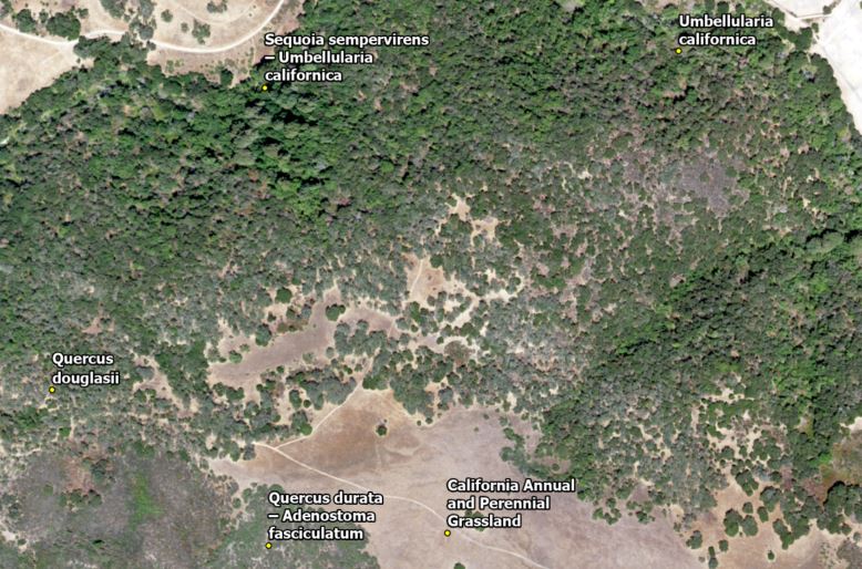
Between 2019 and 2021, Tukman Geospatial created a fine scale vegetation map of San Mateo County for the Golden Gate National Parks Conservancy. Led by Tukman Geospatial, the team for this two-county vegetation mapping project included Kass Green and Associates, the Golden Gate National Parks Conservancy, and Aerial Information Systems (AIS). Vegetation mapping was done using a combination of field work, satellite imagery and LiDAR data, object-based image analysis, and machine learning algorithms like Random Forests and Support Vector Machines. The fine scale vegetation map has minimum mapping units (MMUs) between ¼ acre and 1-acre, depending on the type of features. Vegetation classes are based on the National Vegetation Classification (NVC).
The fine scale vegetation map and related data products will provide accurate, high resolution spatial data for land managers, planners and scientists.
All datasets produced during this project are available at Pacific Veg Map.