Our Team
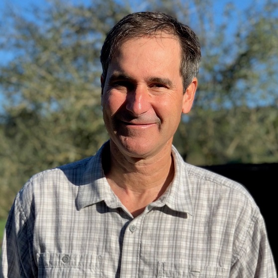
About Mark
Mark founded Tukman Geospatial in 2003 after working for five years at Pacific Meridian Resources. Mark has created fine scale land cover and vegetation maps over large areas, and has worked with a wide range of satellite imagery, aerial photography, and LiDAR data to map land cover, vegetation communities, and forest structure. Mark holds a bachelor’s degree from Cornell University and a Master’s of Environmental Management from Duke.
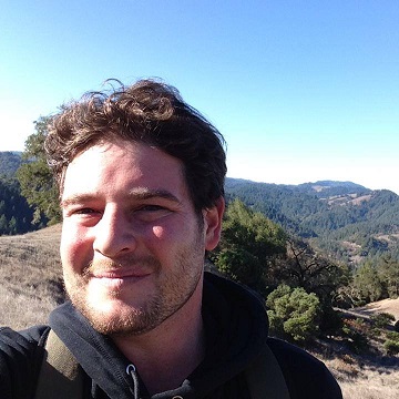
About Dylan
Dylan has 10 years of experience working with imagery and using GIS for natural resource management. Dylan holds a Bachelor’s degree in Environmental Studies from U.C. Santa Cruz and recently earned a Master’s of Forestry, Watershed, and Wildland Sciences from Humboldt State University. Dylan is an FAA drone pilot.

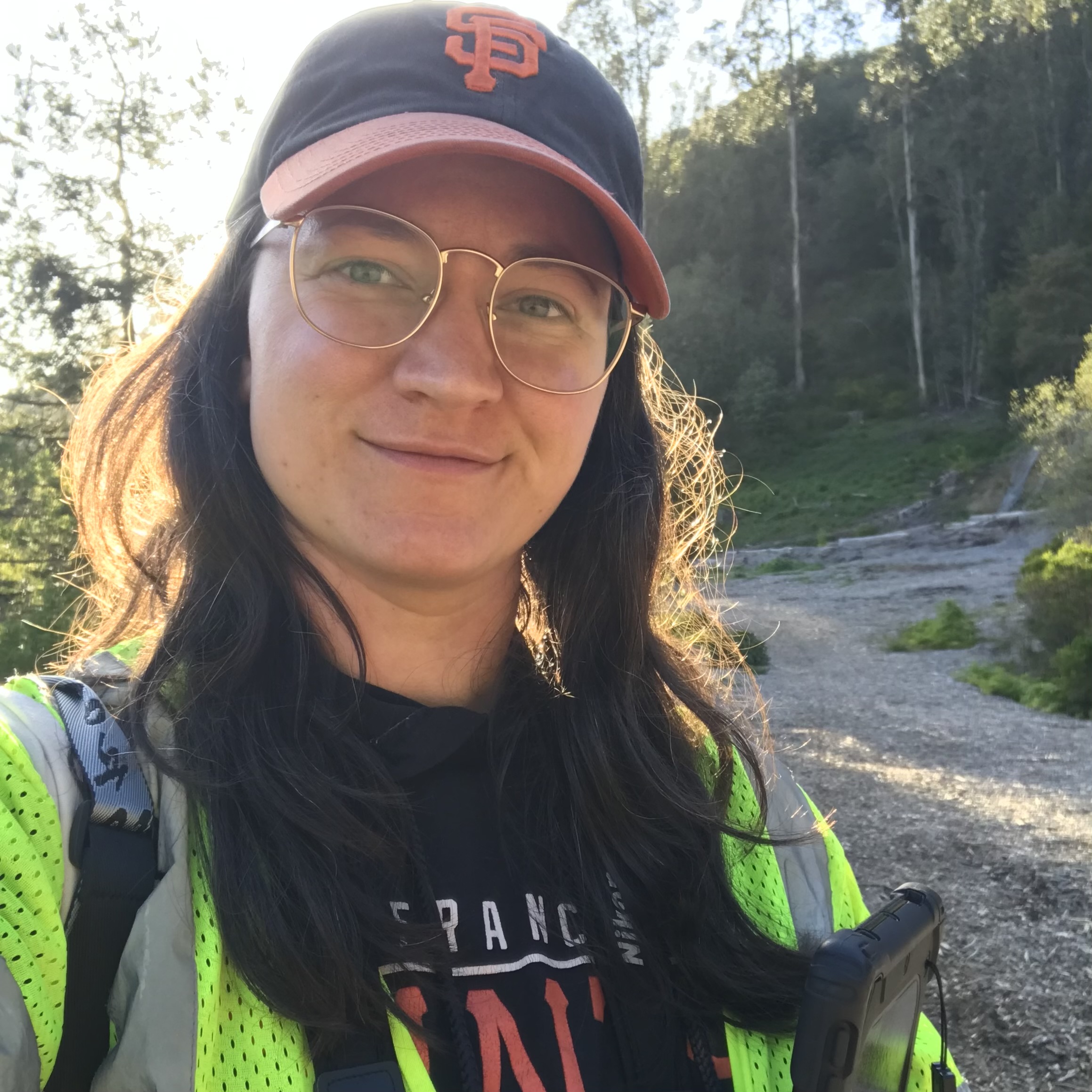
About Eddie
Eddie joined Tukman Geospatial in 2019 and serves as Berkeley Operations Manager, overseeing day-to-day operations and leading the company’s vegetation mapping projects. He leads large-scale mapping programs across California, producing maps and datasets that support land management and wildfire prevention. Eddie is an FAA certified drone pilot and holds a bachelor’s degree in geography.
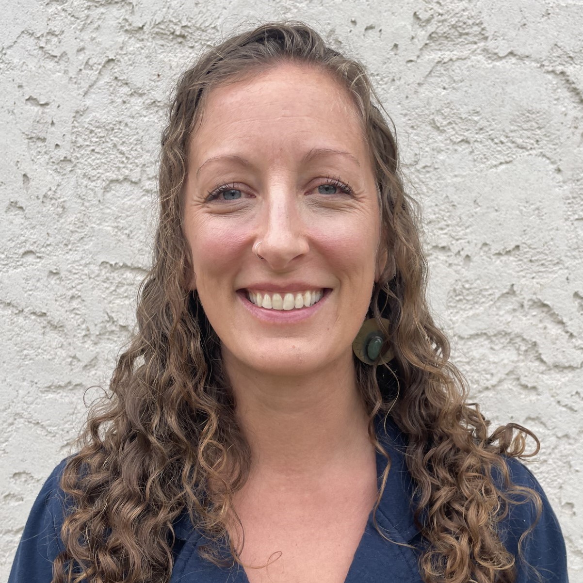
About Julia
Julia has been working in natural resources since 2011 in many different capacities: trail worker, creek stewardship manager, researcher, and educator. She holds a bachelor’s degree in Forestry and Natural Resources and a Master of Forestry degree from UC Berkeley, with a focus on fire ecology and western dry forest restoration.

About Elliot
Elliot has nine years of experience working in forest ecology, environmental stewardship, and GIS consulting. His work has included researching drought-related tree mortality, implementing fire resilience projects as a member of the East Bay Regional Park District’s Fuels Crew, and providing professional geospatial services such as vegetation mapping, community safety planning, GIS capacity building, stewardship support, and web-based application design. He graduated from UC Berkeley in 2017 with a bachelor’s degree in Environmental Sciences and Forestry and completed a certificate in Geographic Information Systems Technology at Foothill College in 2022.

About Tyler
After growing up in Sonoma County, Tyler attended University of Washington where he received a B.S. in Environmental Science and Terrestrial Resource Management. After graduating, and a brief stint as a GIS intern in the wine industry, Tyler joined Tukman Geospatial where he is continuing to grow his skills as an analyst and mapper.
About Laura
Laura has been conducting botanical surveys since she attended UC Davis with a degree in Ecological Management and Restoration, graduating in 2010. Since 2012, she has been working as a vegetation mapping analyst. Her mapping projects and associated field surveys have covered a wide expanse of California, with an emphasis on the Modoc Plateau, Central Valley, Central Coast, and Suisun Marsh.
About Brian
Brian is a born and raised Californian, who left the Bay Area to attend Chico State University in the early 90’s. There he attained a Bachelor’s degree in Environmental Geography, with a Business minor and a certificate in Geographic Information Systems. For 10 years, he worked as a fisheries biologist on the Feather, Sacramento, and Yuba Rivers and several tributaries. Since 2010, Brian has been dedicated to vegetation mapping and was the lead biologist and project manager for several mapping projects throughout the state including the Great Valley Ecoregion, Delta, Suisun Marsh, High Speed Rail Corridor, and much of Plumas, Modoc, and Lassen counties. He is excited to continue California vegetation mapping with Tukman Geospatial.
About Lauren
Lauren was born and raised in the East Bay Area and has a degree in Wildlife Biology and Conservation, and certification in GIS. She’s worn many hats throughout her career – from guiding hikers through Yosemite National Park, working on a search and rescue team while Wildland firefighting and researching fire regimes in Colorado, to working with endangered species in Hawaii. Despite her adventures throughout the country, Lauren’s career is driven by a deep love for the diverse ecosystems she grew up with in California and is excited to be utilizing her GIS skills with Tukman Geospatial.

About Eric
Born and raised in Marin County, Eric got his B.A. in Environmental Analysis at Washington University in St. Louis before returning to the Bay Area to begin his career. Eric joined Tukman Geospatial to continue building experience with GIS, California native flora, and sustainable land management.
Our Partners
About Kass
Kass is a key partner and adviser and her vision (and elbow grease) is evident in many of Tukman Geospatial’s projects and map products. Kass’s experience spans thirty years of managing and supervising GIS and remote sensing professionals, as well as leadership in GIS and remote sensing research and policy. As a non-tiring advocate of the Landsat, Ms. Green has testified before Congress and worked on numerous initiatives to support the Landsat Program. Her research includes innovations in automated change detection and object oriented image classification. Ms. Green chairs NASA’s Earth Science Applications Committee, co-founded and chaired the Department of the Interior’s Landsat Advisory Group and has served on a variety of Federal Advisory Committees for NASA, NOAA and DOI. She has taught numerous workshops for ASPRS and federal agencies, is a fellow and an honorary member in the American Society of Photogrammetry and Remote Sensing (ASPRS), and a past president of both MAPPS and ASPRS.
About Kyle
Kyle is a botanist and has worked with Tukman Geospatial as a science adviser and on a number of vegetation mapping projects. Kyle has worked across California and the Southwest collecting field vegetation data for the National Park Service and private industry. Kyle completed a Master’s degree at Northern Arizona University in 2006, where he explored floristics, local scale vegetation shifts across an edaphic gradient, and regional phtyogeographical affinities of Pinyon-Juniper woodlands on the Colorado Plateau. For his PhD from UC Davis, Kyle is currently studying mechanisms of speciation in the plant clade Streptanthus (s.l., Brassicaceae). Kyle continues to work with Tukman Geospatial, especially during field season.