Potential Operational Delineations – North Coast
Working under contract for West Coast Watershed, Tukman Geospatial served in a multi-organizational project to create draft Potential Operational Delineations (PODs) for the entire North Coast Partnership Region, which encompasses 12 million acres of California’s North Coast. The project was co-led by Dr. Chris Dunn of Oregon State University and Will Harling of the Mid Klamath Watershed Council.
PODs are mapped polygons whose boundary features are relevant to fire control operations (e.g., roads, ridgetops, and water bodies), and are useful for landscape scale fire planning.
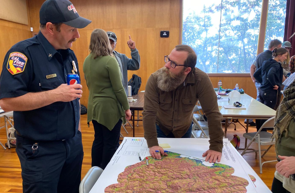
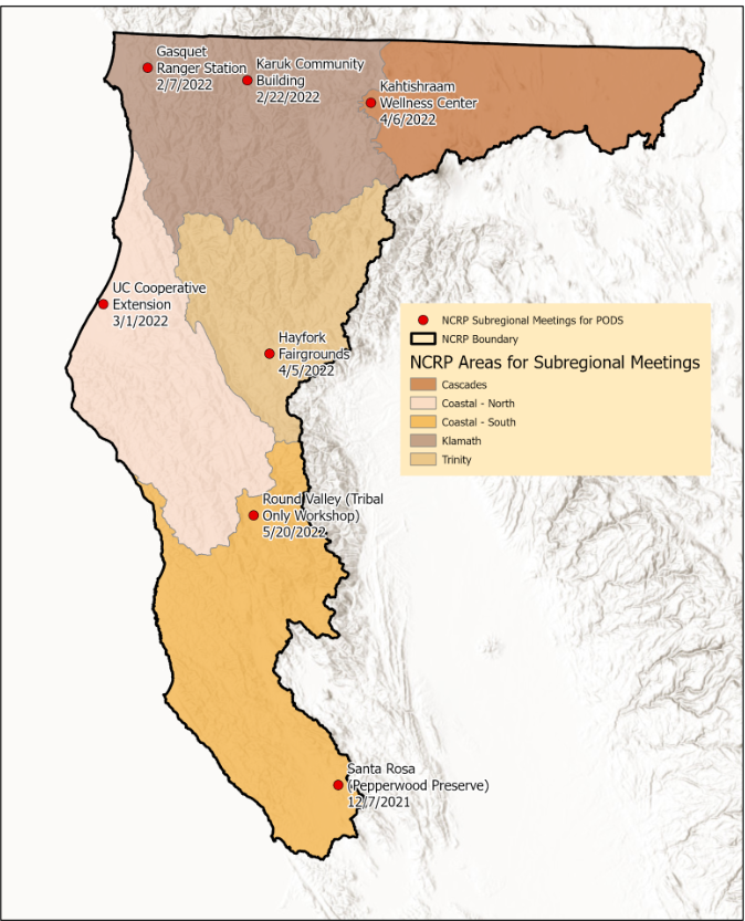
For this project, Tukman Geospatial helped to organize 5 workshops across the north coast to receive input on POD boundary locations from the North Coast fire community. In addition, our team helped support the effort by providing webmaps for wildfire professionals to edit and enter POD boundaries, as well as by providing general GIS support and expertise to support the effort.